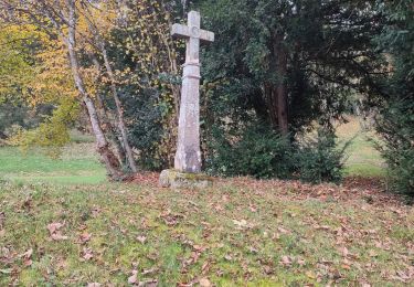
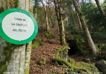
17.2 km | 23 km-effort
2015 08 01 la rosière
michelbauby
User
Length
16.4 km
Max alt
816 m
Uphill gradient
506 m
Km-Effort
23 km
Min alt
591 m
Downhill gradient
508 m
Boucle
Yes
Creation date :
2015-08-01 00:00:00.0
Updated on :
2015-08-01 00:00:00.0
4h30
Difficulty : Medium
FREE GPS app for hiking
About
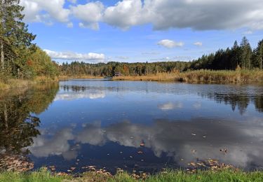
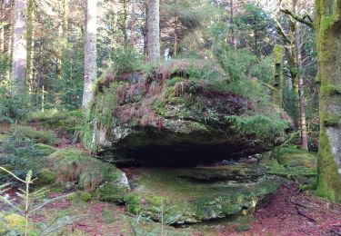
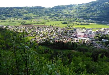
Trail Walking of 16.4 km to be discovered at Bourgogne-Franche-Comté, Haute-Saône, La Rosière. This trail is proposed by michelbauby.
Positioning
Country:
France
Region :
Bourgogne-Franche-Comté
Department/Province :
Haute-Saône
Municipality :
La Rosière
Location:
Unknown
Start:(Dec)
Start:(UTM)
322535 ; 5308824 (32T) N.
Comments
Trails nearby
la montagne 70000
Walking
Very difficult
La Montagne,
Bourgogne-Franche-Comté,
Haute-Saône,
France
5h 3min
No
2023-05-27_12h07m26_randonnee-33932321-effreney-la-noz-du-pin-effreney (3)
sport
Very easy
(1)
Amont-et-Effreney,
Bourgogne-Franche-Comté,
Haute-Saône,
France
18.5 km | 24 km-effort
Unknown
Yes
08-10-22
Walking
Easy
Corravillers,
Bourgogne-Franche-Comté,
Haute-Saône,
France
5.6 km | 7.4 km-effort
1h 44min
Yes
Vosges 2019 : réserve de Rupt-sur-Moselle.ori
Walking
Medium
Rupt-sur-Moselle,
Grand Est,
Vosges,
France
11.4 km | 17.7 km-effort
5h 13min
Yes
BELUE
Other activity
Very easy
Rupt-sur-Moselle,
Grand Est,
Vosges,
France
10.9 km | 17.2 km-effort
2h 53min
Yes
raquettes st bresson 14-01-17
Snowshoes
Easy
La Montagne,
Bourgogne-Franche-Comté,
Haute-Saône,
France
4.6 km | 5.9 km-effort
1h 36min
Yes
brèche etang
Running
Easy
(1)
Beulotte-Saint-Laurent,
Bourgogne-Franche-Comté,
Haute-Saône,
France
6.6 km | 8.8 km-effort
Unknown
Yes
20241112 Rupt sur Moselle
Walking
Medium
Rupt-sur-Moselle,
Grand Est,
Vosges,
France
15.9 km | 23 km-effort
4h 5min
Yes
rando rupt 2
Walking
Difficult
Rupt-sur-Moselle,
Grand Est,
Vosges,
France
10.2 km | 16.7 km-effort
3h 48min
Yes